Brochures and technical documents published by the GEO Secretariat, the EO4SDG Secretariat and contributors:
2022
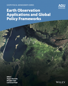 Earth Observation Applications and Global Policy Frameworks
Applying Earth science knowledge to sustainable development, disaster risk reduction, and climate action. Data and insights from Earth observations are critical for assessing the health of our planet, monitoring change, and addressing societal challenges from the local to the global scale.
This book presents case studies of Earth science information integrated with statistics and socioeconomic data for managing development targets, improving disaster resilience, and mitigating and adapting to climate change. It also showcases open collaboration among researchers, United Nations and government officials, entrepreneurs, and the public.
2020
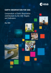 Compendium of EO contributions to the SDG Targets and Indicators
This compendium has been produced by a project funded by the European Space Agency (ESA) in close cooperation with the GEO EO4SDG initiative and the CEOS Ad-Hoc Team on SDGs. The objective of the Compendium was to conduct an in-depth review of the relevance of satellite observations to the SDG Targets and Indicators, and more specifically to analyse how these observations can be embedded in the computational methods of the SDG indicators and be fitted into national statistical systems for monitoring progress on SDGs. It illustrates how satellite observations can directly or indirectly support SDG indicators, and how countries can set and plan their SDG targets using EO-based support tools.
The contribution of EO to the SDG indicators was reviewed based on literature review and expert consultation. A “traffic light” system was applied across the SDG indicator suite to flag EO relevance according to eight criteria describing the readiness and adequacy of EO to the indicator methodology.
2018
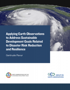 Policy Brief by Gerturde Pavur
Earth observations from satellites are essential tools for solving complex societal challenges and for promoting sustainable development within communities around the world. Satellite-based data aids efforts to achieve the United Nations Sustainable Development Goals (SDGs), helping countries address the social, economic, and environmental effects of disasters across the globe. With the support of ground-based and other forms of Earth observations, satellite data provides community leaders with improved information about disasters. This can significantly decrease the loss of life and economic burdens disasters place on society, as well as better represent poor and vulnerable community members. Included in this report are two case studies about creative uses of remote sensing data to promote resilience and reduce risks related to disasters in Puerto Rico and Bangladesh.
The Sustainable Development Goals (SDGs) are 17 ambitious goals for All State Members of the United Nations to reach by 2030. The ambitious nature of these SDGs requires new and innovative ways to address these issues. Goal 3 seeks to ensure the healthy lives and promote well-being for people at all ages. Two important targets for SDG 3 can be addressed by using remote sensing data: Target 3.3, which focuses on combating communicable diseases, and 3.9, which aims to reduce mortality from environmental pollution. This brief highlights the ways that end-users, such as Ministers of Health and Public Health Officials, can use Earth observation (EO) data to work towards eliminating communicable diseases and morbidity due to environmental pollution. Included are two case studies, one which looks at the benefits of using EO to address air pollution in Colorado, and another that considers EO applications to tackle malaria outbreaks in the Peruvian Amazon.
2017
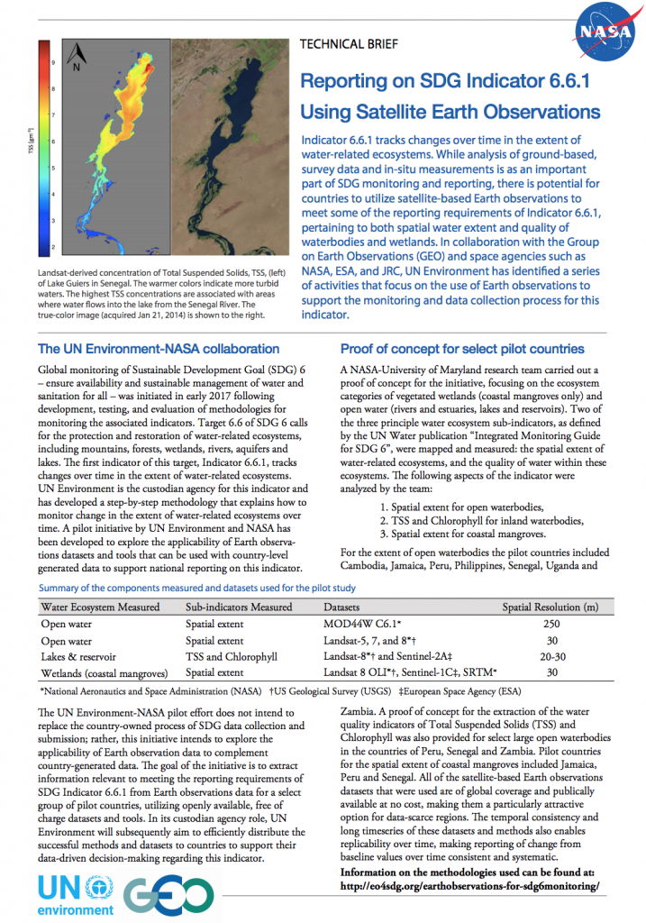 Technical Brief: Reporting on SDG Indicator 6.6.1 Using Satellite Earth Observations
Indicator 6.6.1 tracks changes over time in the extent of water-related ecosystems. While analysis of ground-based, survey data and in-situ measurements is as an important part of SDG monitoring and reporting, there is potential for countries to utilize satellite-based Earth observations to meet some of the reporting requirements of Indicator 6.6.1, pertaining to both spatial water extent and quality of waterbodies and wetlands. A NASA-University of Maryland research team carried out a pilot study, in collaboration with UN Environment, focusing on the ecosystem categories of vegetated wetlands (coastal mangroves only) and open water (rivers and estuaries, lakes and reservoirs) in one or more of the following countries: Senegal, Peru, Jamaica, Nepal, Cambodia, Philippines, Uganda, and Zambia.
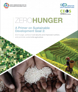 A Primer on Sustainable Development Goal 2: End hunger, achieve food security and improved nutrition, and promote sustainable agriculture
One of the significant objectives of the United Nations 2030 Agenda for Sustainable Development and associated Sustainable Development Goals (SDGs) is to end hunger and food insecurity. This means promoting a path towards sustainable food and agricultural production while safeguarding plant and animal genetic resources. It also means ensuring that people who are suffering from hunger and malnutrition have access to nutritious food. This primer offers an introduction to SDG 2 (“Zero Hunger”); a description of progress since the Millenium Development Goals (MDGs) Agenda; an overview of the enabling environment – key stakeholders, institutions, governance and partnerships; and a summary of the role of data, including Earth observations and geospatial information, in enabling transformation across sectors and contributing to a zero hunger society.
2016
The Global Indicator Framework captures the interlinked, multifaceted and ambitious aspirations for the continued development of nations and societies. Effective reporting of progress toward these Indicators requires the use of multiple types of data, what we have in hand – traditional national accounts, household surveys and routine administrative data – as well as new sources of data, namely Earth observations, geospatial information, citizen science, and Big Data.
Earth Observations Support Sustainable Development
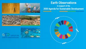
GEO convenes effective partnerships for societal benefit through use of free and open Earth observation data. Eo4SDG, together with the Committee on Earth Observation Satellites (CEOS), have issued a new report to highlight case studies of how EO responds to sustainable development, whether for health, disaster risk reduction or environmental protection.


