
The Power of GIS and Spatial Analysis: How Tools Can Address Community Needs and Increase Impact

Charles Brigham, Senior Account Manager, Nonprofit and Global Organizations, Esri
Carmelle J. Terborgh, Ph.D., Lead Account Manager, Nonprofit and Global Organizations, Esri
Earth Observations and SDG 13
Earth Observations (EO) provide the way to capture information on such variables as temperature and this data is processed through Geographic Information Systems (GIS). EO for SDG 13 (Climate Action) is a means for GIS to drive insights that can target change. This approach allows geospatial foresight that helps decision-makers in the allocation of resources to maximize positive impacts on communities.
All countries are now subject to the various impacts of more extreme weather events, rising sea levels, and unpredictable seasons. To enable resilience, EO and spatial analysis are critical to understanding patterns of change and risk at all scales – global to local. Current GIS technology allows quick deployment of global analysis models. For example, to understand global water balance, researchers utilize six hydrologic variables: soil moisture, precipitation, runoff, snowpack, evapotranspiration, and change in storage to show change over time. NASA’s Global Land Data Assimilation System (GLDAS-2.1) uses weather observations like temperature, humidity, and rainfall to run the Noah-MP land surface model to facilitate climate predictions.
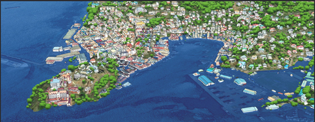
One way to increase community preparedness is by evaluating finance commitments and how they can enable resources that foster resilience. Digital models, supported by EO, allow simulation of how investments could be made to foster resilience. These digital models of real places are often referred to as Digital Twins, which are virtual representation of reality, including physical objects, processes, and relationships. For example, Tuvalu is threatened by sea level rise and working to safeguards its sense of place with a digital twin as noted in this article.
It is not enough to take action, but one must focus on doing the right actions for the right place. Unfortunately, all the digital transformations, artificial intelligence, and innovations in the world will not stop a storm surge from inundating a community. Resilience actions must be taken in advance of those storms – based on EO.
EO for SDG 13 will continue to be front and center, as we know our planet is continuing to exceed indicator limits for what it can support. We have an opportunity to leverage EO to capture data, leverage GIS to analyze and derive insights in the data and to generate digital models to understand and communicate the actions needed that will drive progress.
Learn More:
- To explore Digital Twins further, explore this site and download this free e-book.
- To learn more about the power of Earth Observations, explore this site where you can find a checklist on data driven strategies with location intelligence and geospatial technology.
- Consider participating in the next GIS for Climate Action MOOC later this month.
- Consider learning more about the status of SDG 13 targets here. This status includes information on the number of disaster-related deaths, international risk reduction strategies, indicators to better understand our planet, and more.
Date Published: January 27th, 2025


