Harnessing the Potential of Earth Observations for the SDGs
Earth observations, including observations from remote sensing satellites, in-situ instruments, ground-based stations, and aerial platforms, are essential in monitoring and assessing the dynamics of Earth as an integrated system, and the unprecedented impact of human influence on our planet. When integrated with socioeconomic information, national statistics, as well as Volunteered Geographic Information (VGI), citizen science, and supplemental data sources, Earth observations can enable new insights for better administration of our planet.

The importance for pioneering data solutions, coupled with technological and computational advances, was prominently featured at the first Data for Development Festival, hosted by the Global Partnership for Sustainable Development Data in Bristol, UK on 21-23 March, 2018. The festival’s Planetary Data for Development plenary session provided context on the use of Earth observation data in support of the United Nations 2030 Agenda for Sustainable Development, and the associated movement, since the launch of the Sustainable Development Goals (SDGs), to promote data democratization and the effective integration of different sources of data. This includes national statistics, Earth observations, and other geospatial information, to scale up progress towards sustainable development, while ensuring national ownership in SDG monitoring, reporting, and implementation.
To tailor this discussion towards a national context, which is at the core of the 2030 Agenda, country examples were prominent, including Colombia’s National Office of Statistics’ (DANE) experiences in using satellite-based EO to monitor land use (SDG indicator 11.3.1, ratio of land use change rate per population growth rate) and sustainable, resilient infrastructure (SDG indicator 9.1.1, proportion of the rural population who live within two kilometeres of an all-season road).

“We are running. If you want to leave no one behind, you need to run; walking, you won’t make it,” said Mr. Ben Paul Mungyereza, Executive Director of the Bureau of Statistics in Uganda, during his opening remarks at the Earth Observation Applications and the Sustainable Development Goals session.
Uganda’s Bureau of Statistics is currently working to align the country’s national development plan to the SDGs and the Africa Agenda 2063, firming up existing partnerships and working towards establishing a spatial data infrastructure (SDI) in support of integrated, sustainable development planning. To spur progress towards achieving the SDGs at the national level, Uganda’s Ministry of Water and Environment has also embedded indicators from SDG 6, Water and Sanitation, into the Water and Environment Sector Performance Monitoring Framework. This is a great example of SDG integration across government institutions, and of moving towards a ‘whole of government’ approach for implementing the SDGs. This also highlights the essential need for bringing the various government institutions together to support sustainable development monitoring, planning, and decision-making.
But how can key stakeholders, including government officials and policymakers, identify and develop the capacity needed to implement transformative solutions to achieve the SDGs? And how can countries strengthen their ability to harness the potential of a great range of geospatial data and Earth observations to address sustainable development challenges at global, regional, national, and sub-national levels? Panel discussions at the Data for Development Festival explored these questions and more; from how global to national EO datasets, decision support tools, and technology platforms can be developed to enable national statistical offices and other stakeholders to better monitor and implement the SDGs, to how we can scale up country-specific, successful use cases into systems that enable widespread use of the methods and tools to achieve the SDGs.
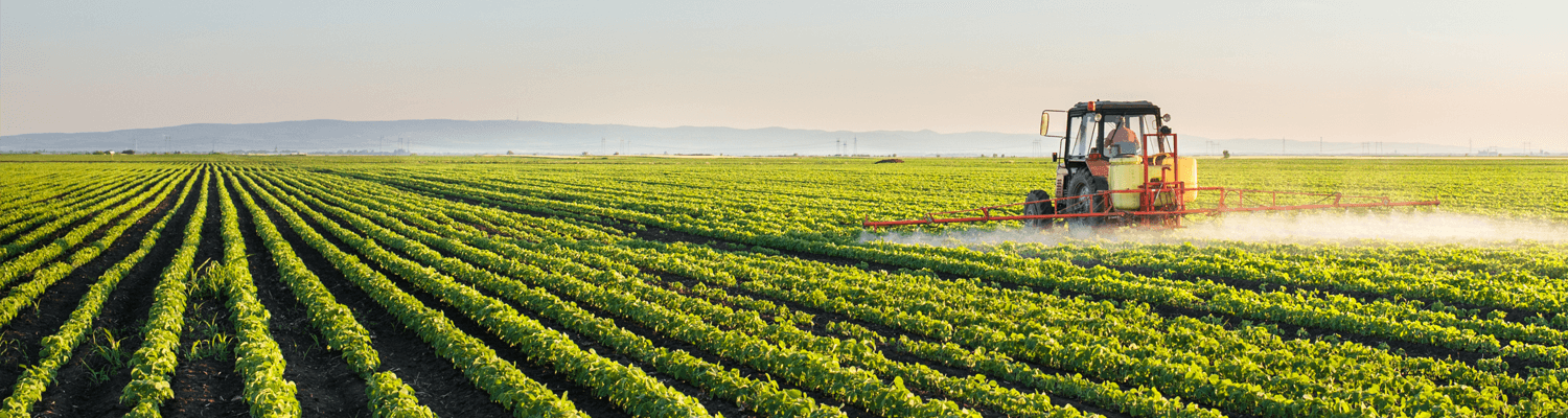
Opportunities for EO applications in support of sustainable development, and examples of relevant initiatives, included: [opportunity] the use of EO-derived open data to better understand human presence on Earth and support global policy processes at multiple scales, from global to city-level, by linking settlements, infrastructure, and population distribution data; [initiative] POPGRID, a data collaborative that seeks to accelerate the development and use of high quality, highly usable georeferenced data on population, human settlements, and infrastructure, drawing on an international, interdisciplinary community of data developers and users; [initiative] a pilot project to develop a Drought and Flood Mitigation Service (DFMS) to enable farmers and decision-makers in Uganda to access accurate and reliable data on water resources, weather, and climate, through a partnership between Uganda’s Ministry of Water and Environment and the Rhea Group; and, [opportunity] using satellite-based EO to monitor land use change, and more accurately map the influence area around basic infrastructure i.e., roads in rural areas.
As the EO community supports more countries in the process of meeting the SDGs, crucial to its success will be its ability to better understand how the 2030 Agenda can be applied to local needs. This will help ensure that the wealth of information produced, and innovations developed, in support of this global framework are policy-relevant and easily accessible to decision-makers at all levels. Further, as Angela Lopez of DANE mentioned at the festival, it will be important to understand how relevant EO products, methods, tools, and platforms developed in support of the SDG framework can be extended to address additional country processes,such as census of agriculture and population census efforts, among others.
About the author
Argyro (Argie) Kavvada is an expert on atmospheric science and climate dynamics, and is currently serving as the Executive Secretary of the Group on Earth Observations (GEO) Earth Observations in Service of the 2030 Agenda for Sustainable Development (EO4SDG) Initiative, on behalf of the United States / National Aeronautics and Space Administration (NASA). She received her Doctorate and Masters degrees in Atmospheric and Oceanic Science from the University of Maryland, College Park, specializing in Climate Dynamics. She also received a Masters degree in Applied Mathematics and Statistics from Georgetown University, and a Bachelors degree in Physics from the Johns Hopkins University. Dr. Kavvada supports NASA’s engagement with the interagency U.S. Group on Earth Observations (USGEO) and the international Group on Earth Observations (GEO) in terms of applying Earth observations for the United Nations Sustainable Development Goals. She is also a member of the Committee on Earth Observation Satellites (CEOS) Sustainable Development Goals (SDG) Ad-Hoc Team and serves as the GEO / EO4SDG representative to the United Nations Working Group on Geospatial Information (WGGI).
Argyro.Kavvada[at]nasa.gov


