5SQ Profile: Marwa Farouk ElKabbany
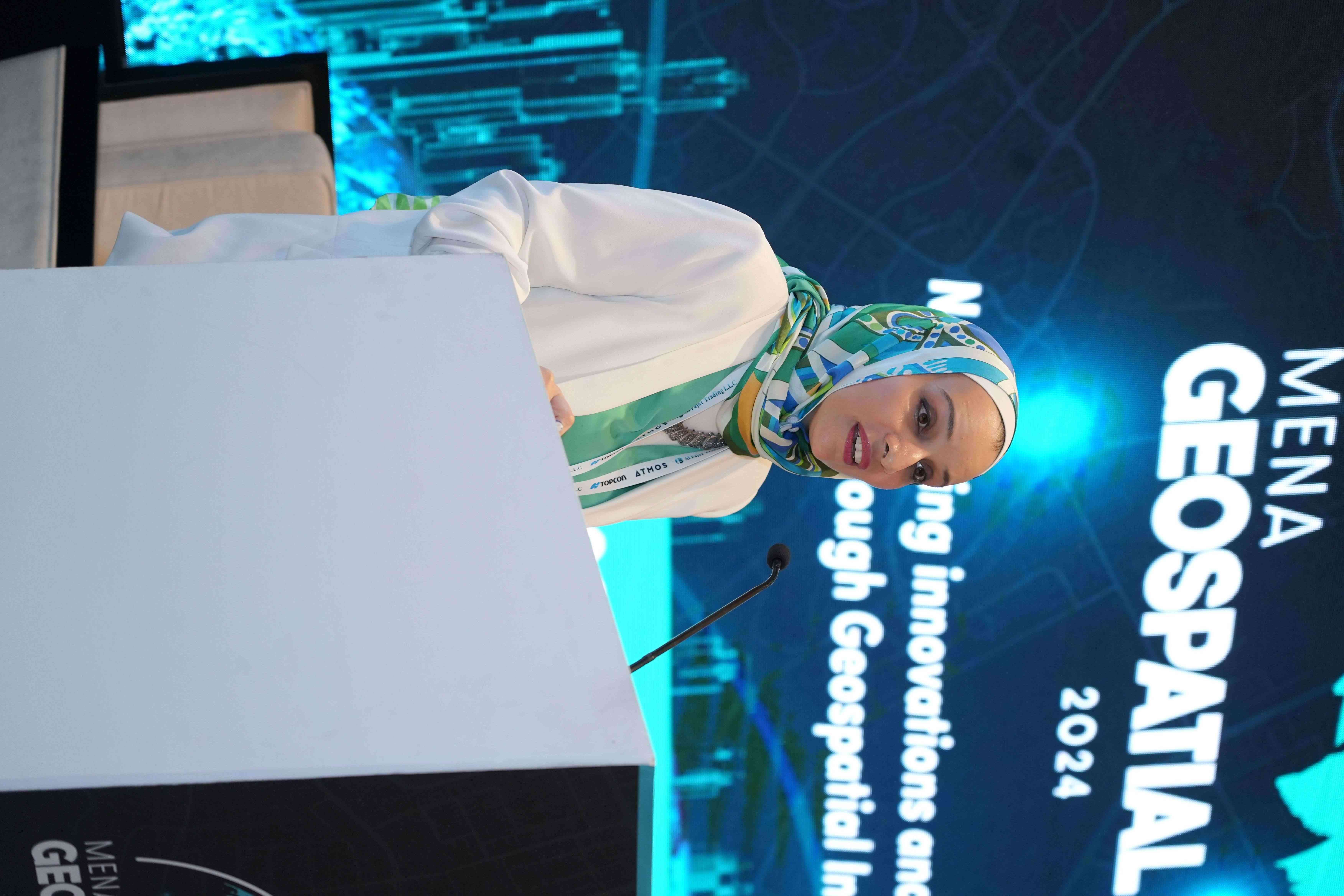 Where do you currently reside?
Dubai, UAE – an international hub for trade and tourism built on a sandy coastal desert
What organization do you work with and what is your title?
I am a Principal Geospatial Consultant at the UK Ordnance Survey.
How does your work contribute to the SDGs and incorporate EO data?
In my current roles, I use Earth observation data to help governments improve quality of life, monitor environmental changes, manage resources better, and enhance urban planning. This work promotes sustainable development and encourages sharing knowledge and technology to benefit communities and create a better future for everyone.
What is a favorite moment in your career?
One of my favorite moments in my career is when I get to share my knowledge and skills with others. Whether it’s teaching a team member a new geospatial technique or helping someone understand the intricacies of sustainable development, seeing that “aha” moment on their faces is incredibly rewarding. It’s not just about imparting knowledge; it’s about empowering others to grow and succeed, which brings me immense joy and fulfillment.
In what ways can the broader SDG and EO communities support your initiatives?
The broader SDG and EO communities can support my initiatives in several impactful ways, significantly enhancing the quality of life for the governments I support:
Data Sharing and Collaboration: Access to high-quality, up-to-date geospatial data is crucial. By sharing data and fostering collaboration, these communities can help ensure that our projects are based on the most accurate and comprehensive information available.
Capacity Building: Training and capacity-building programs are essential for empowering local governments and organizations to effectively utilize geospatial technologies, and enabling data-driven decisions that improve citizens’ quality of life.
Innovative Solutions: Advanced mapping techniques and predictive analytics tailored to specific SDG targets can significantly enhance the outcomes of projects meant to address unique regional challenges.
Policy Advocacy: Supporting policy advocacy efforts to integrate geospatial data into decision-making processes ensures that sustainable development and quality of life improvements are prioritized by governments.
Funding and Resources: Financial support and resources for geospatial projects are vital. This includes funding for research, technology acquisition, and project execution, accelerating the implementation of initiatives aimed at achieving the SDGs.
Public Awareness and Engagement: Educational campaigns, workshops, and public forums are effective ways to raise public awareness about the importance of geospatial data in achieving the SDGs, fostering greater community engagement and support.
Date Published: October 18, 2024


