Leveraging Earth Observations to Achieve SDG 15: The Case of Costa Rica
Rafael Monge is a Costa Rican economist from the University of Costa Rica and a Master’s in Public Administration from Harvard Kennedy School. He has dedicated over a decade to shaping environmental policy at Costa Rica’s Ministry of Environment and Energy, where he held advisory roles to former Ministers and directed the National Center of Geoenvironmental Information (CENIGA).
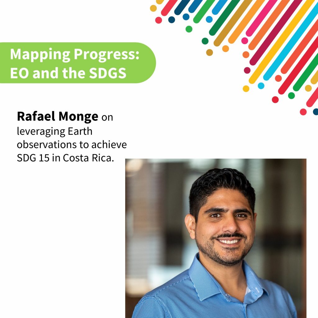
His tenure as the director of CENIGA was marked by significant achievements, including leading the development of the groundbreaking National Land Use, Land Cover, and Ecosystems Monitoring System (SIMOCUTE). His efforts were pivotal in facilitating Costa Rica’s accession to the OECD on environmental issues and in crafting the reporting of environmental indicators for the Sustainable Development Goals (SDG). He has been a member of the EO4SDG board since 2022.
Leveraging Earth Observations to Achieve SDG 15: The Case of Costa Rica
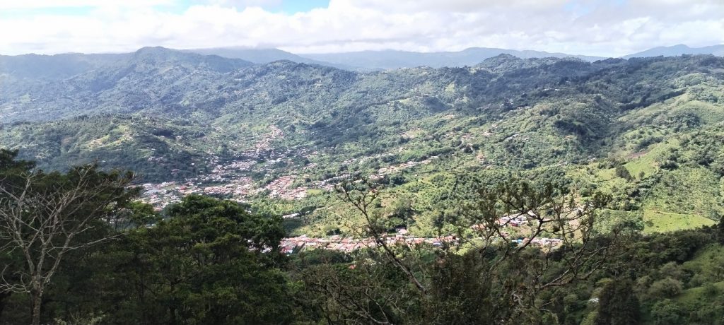
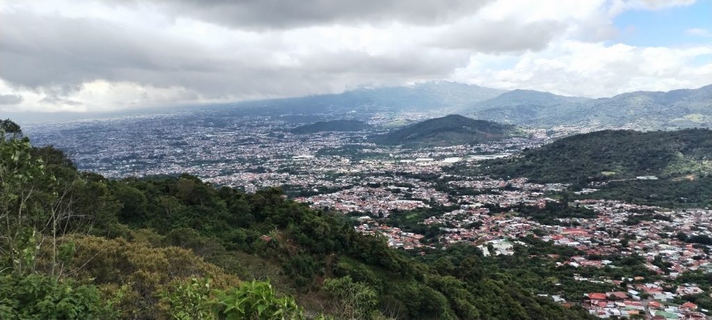
The world’s forests are crucial for a sustainable future, providing vital ecosystem services and contributing to human well-being. This is why Sustainable Development Goal 15 (SDG 15) focuses on protecting, restoring, and promoting the sustainable use of terrestrial ecosystems, including forests. Monitoring these vital resources is essential to achieving these goals, and Earth observation technologies have become indispensable tools in this effort.
The Role of Earth Observations in Monitoring Forests
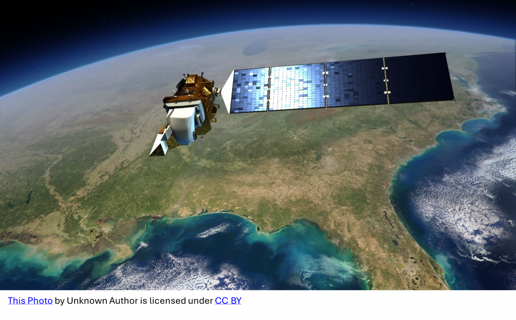
Earth observations, powered by technologies like remote sensing, have transformed our ability to monitor forests, providing vital insights into their health and how they are changing. For example, LiDAR can create detailed 3D maps of forest structure, helping to assess carbon storage or track deforestation rates, while hyperspectral imaging can detect subtle changes in vegetation health, identifying early signs of stress or disease.
In Costa Rica, for instance, satellite data is used to generate detailed maps of forest cover, allowing scientists and policymakers to monitor deforestation, identify areas of degradation, and track the success of conservation efforts. This data informs crucial decisions about land management and conservation.
Supporting Decision-Making with Earth Observations
Earth observation data empowers policymakers with vital information to make informed decisions about land management and conservation. This ensures that policies are based on accurate, up-to-date information, enhancing the effectiveness of conservation efforts, and promoting sustainable land management practices.
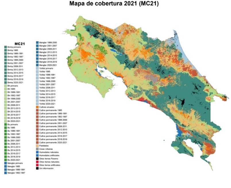
Costa Rica’s National Land Use, Land Cover, and Ecosystems Monitoring System (SIMOCUTE), developed by the Ministry of Environment and Energy (MINAE) under the coordination of the National Center of Geoenvironmental Information (CENIGA), exemplifies the integration of geospatial data into decision making. SIMOCUTE provides comprehensive data on the country’s land use and ecosystems, and supports informed decisions on environmental management and policy. It also provides transparent information on how the country’s performance meets its development objectives and international commitments.
Accessing International Carbon Funding
The United Nations Framework Convention on Climate Change (UNFCCC) established the Reducing Emissions from Deforestation and Forest Degradation (REDD+) framework to incentivize countries to reduce emissions from deforestation and forest degradation. To access REDD+ funding, countries must demonstrate their ability to monitor and report on forest carbon emissions through robust Measurement, Reporting, and Verification (MRV) systems.
Costa Rica has been a pioneer in REDD+, utilizing Earth observations for its MRV system. In 2022, the country became the first in Latin America and the Caribbean to receive payments from verified emission reductions through the Forest Carbon Partnership Facility (FCPF). Under the FCPF, Costa Rica signed an Emissions Reductions Payment Agreement for the reduction of 12 million tons of carbon emissions between 2018 and 2024. The country is expecting to receive $60 million in three payments.
Costa Rica’s first monitoring report, presented in 2021, was validated and approved, leading to the country receiving $16 million for reducing 3.3 million tons of CO2 emissions between 2018 and 2019. This success was a significant milestone, highlighting the value of effective forest monitoring and the role of Earth observations in achieving this outcome. Costa Rica’s second report was presented in May 2023 and is currently under validation.
The funding received from the Emissions Reduction Program has been used to expand the country’s Payment for Environmental Services Program, strengthen the governance of national protected areas, foster policies on sustainable forest management, fire management, and landscape restoration, and support the National Decarbonization Plan.
Measuring Forest Emissions Reductions
Costa Rica’s participation in REDD+ requires a strong forest monitoring system, which relies heavily on Earth observations for its MRV system. The country has developed a rigorous system to measure and report on forest emissions, using historical data and Landsat imagery to create a consistent time series of land use maps. Independent studies validated the classification and mapping methods, and this information was combined with ground data from the National Forest Inventory to estimate carbon emissions and removals. Two historical reference periods (1986-1996 and 1997-2009) were constructed to show the impact of policies over time.
The same methodologies used for the reference level are employed for monitoring reports, allowing for consistent comparison of forest emissions across different periods. This ensures a transparent and verifiable approach to assessing emissions reductions.
Deforestation is measured through cartographic comparison of wall-to-wall land use maps generated from Landsat imagery, while degradation is assessed through visual evaluation of high-resolution imagery from a systematic grid. To produce land use maps for the monitoring period, LANDSAT 8 OLI/TIRS satellite data is used. Images are pre-processed and geometrically validated to ensure data quality and consistency. Land cover classification employs the Random Forest method, combining extensive training data with diverse predictor variables for accurate land cover classification.
Open Data and Access
Costa Rica produces biannual land cover maps following these methodologies. These maps are published as open-source data using the WMS/WFS standard protocols established by the Open Geospatial Consortium. They are available through the official platforms of the Costa Rican government, including SIMOCUTE at www.simocute.go.cr, and the National Territorial Information System at www.snit.go.cr. This commitment to open data sharing contributes to broader scientific research, conservation efforts, and policy development related to sustainable forest management.
SDG 15
Costa Rica’s success in utilizing Earth observations for REDD+ and its commitment to open data sharing serves as a model for how countries can achieve SDG 15 targets. This commitment to sustainable forest management, driven by Earth observations, demonstrates the power of these technologies to provide:
-
-
- Real-time insights into deforestation rates, enabling the identification of areas for reforestation and conservation efforts.
- A robust framework for tracking progress towards sustainable forest management practices, ensuring accountability and informed decision-making.
- Comprehensive assessments of how land-use change impacts biodiversity and ecosystem services, guiding conservation strategies and restoration efforts.
- Accurate identification of areas requiring restoration to combat land degradation, enabling targeted interventions.
-
Costa Rica’s pioneering use of Earth observations in forest management highlights the transformative potential of these technologies in achieving SDG 15. By providing accurate, real-time data, Earth observation tools have empowered the country to make informed decisions, secure international carbon funding, and implement effective conservation strategies. This approach not only enhances the sustainability of Costa Rica’s forests but also serves as a model for other nations seeking to meet their SDG 15 targets. Continued investment and innovation in Earth observation technologies are essential for global forest conservation efforts, ensuring that these vital ecosystems can continue to provide essential services to society today and for generations to come.
Date Published: August 5, 2024


